I am a passionate Geomatic engineer and GIS specialist. Currently a student at JKUAT undertaking Bsc. Geomatic Engineering and Geospatial Information Systems. I have two years experience in GIS and spatial analysis, Remote sensing, Photogrammetry,Basic web development, database management seeking to create an impact using this skills. The future is key and therefore, I have interest in Location Intelligence and Artificial Intelligence in general. I support team work and collaborations thus am a leader.
Including: Engineering survey, Traffic engineering, Geospatial analysis and Data Visualization e.t.c
Including:Raster analysis, Image processing, and photogrammetry.
Include: Highway design, and other designs and compilations related to Geomatic engineering.
Front End website design, partly back end web development and GIS development. and Database management.
Over the past years I have been actively involved in GIS projects performing analysis, making informed location based decision. On several occasions I have used advanced tools and technologies in surveying, remote sensing, and geospatial engineering field.
Technologically am not left behind as we make the future of current world. In addition to Surveying I work closely in programming areas too. Major languages being python and JavaScript.
Creativity accompanied with design is key. I update myself to ensure that I can come up with great user experience design.
These are the languages am conversant with for most of Development projects, Geospatial analysis, and other tasks.
I have pro knowledge about these tools and technologies that I consistently use in my projects. The form part of my daily experience.
Studied a five year program at Jomo Kenyatta University of Agriculture and Technology ( JKUAT ) I graduate on 28th June, 2024.
Pursued my high school education at Ekwanda for all the years till graduation date.
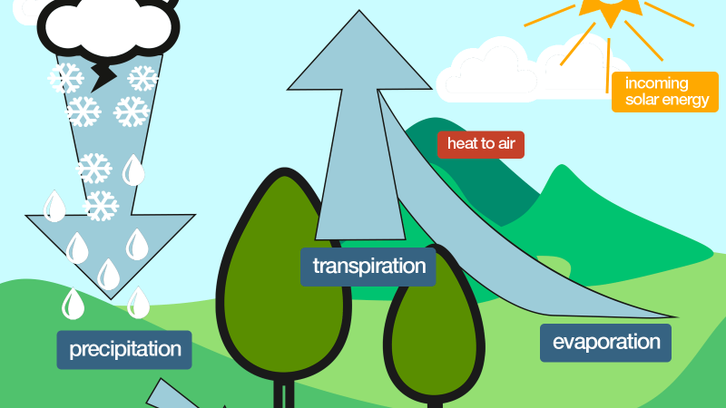
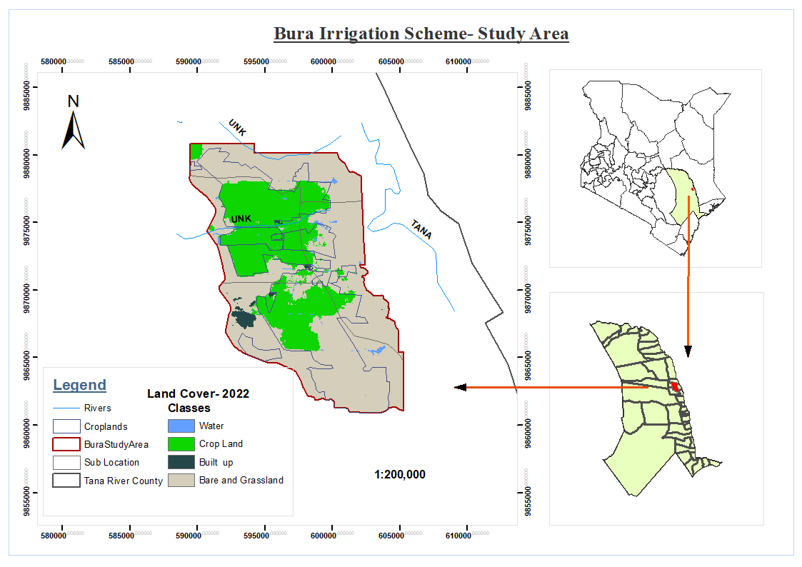
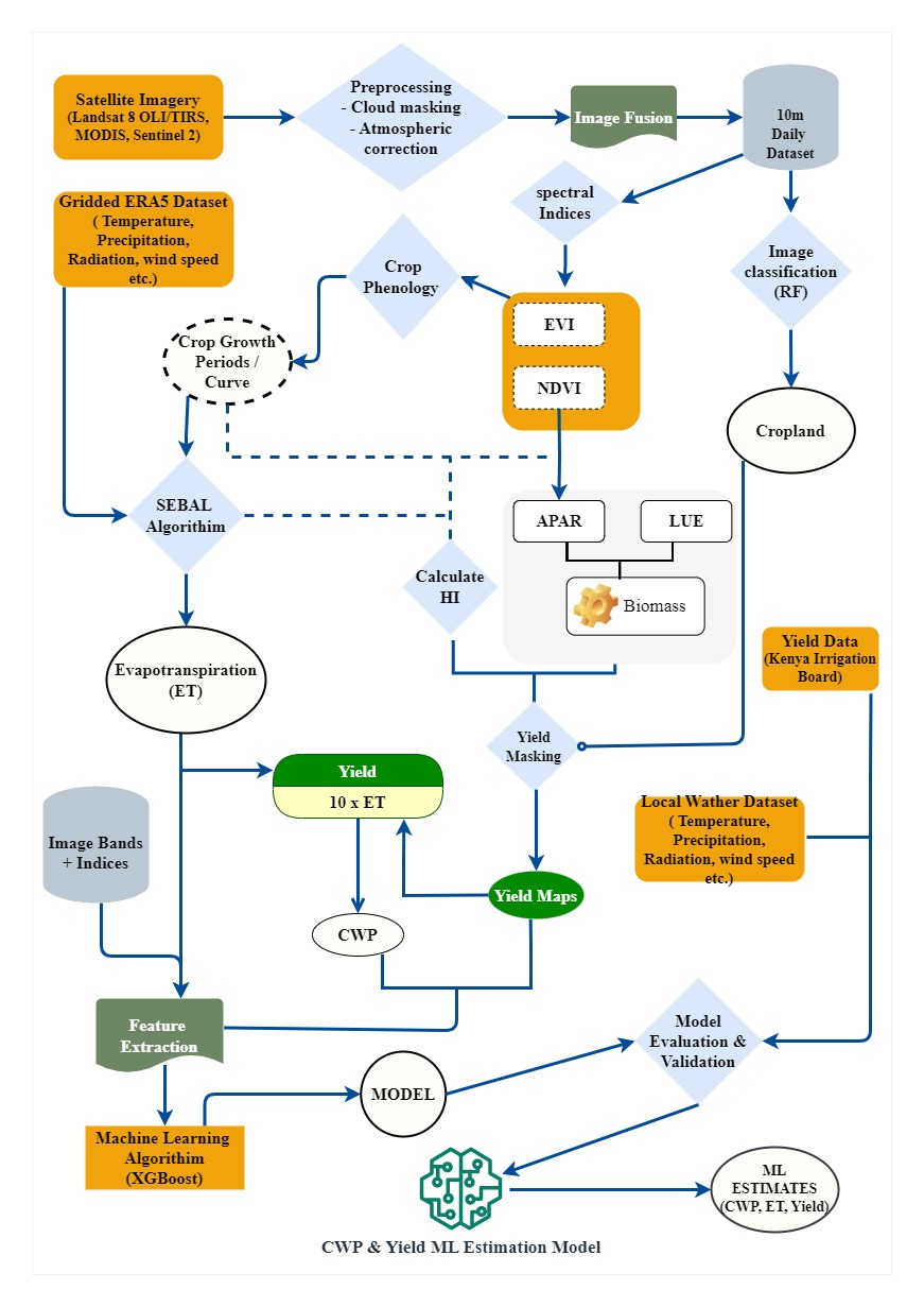
This is my final year project about Crop water productivity. It is aimed at assessing the amount of yield that can be obtained from a given amount of water. This is done by estimating yeild, rate of evapotranspiration, and amount of water available in the soil. The project is done in Bura Irrigation Scheme, Tana River County, Kenya. Complete project write up can be downloaded here
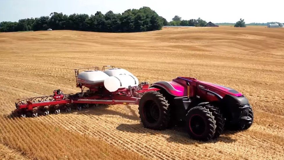
Check Source CodeThis project is aimed at improving agricultural land that is saline (has too much mineral salts). Such land cannot support growth of several crops thus the need to lower salt level. Using GIS, we map the areas with such soil properties and embed GIS system to platform(tractor and other farm ploughing equipment) and automatically quantify amount of solution to be used. The system is automated using robotics technologies and some few manual work can be performed.
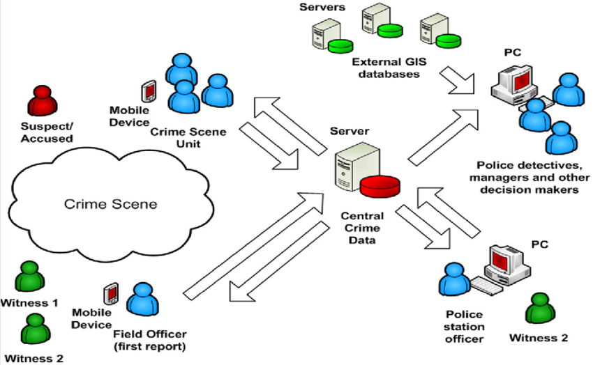
Check it outGIS system that consist of drones that are connected to several sensors within a town, and crime hotspot areas. This system work in a way that whenever the sensors records the programmed issues, a drone fly to the scene very fast and record live as this is forwarded to the nearest security centre or police station.
Check it outI have done few website development including Frontend and backend for several sites. Here is a list.